


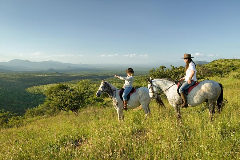
- Check out sample itineraries from Africa Safari Trips
- Book safaris to Kenya, South Africa & Uganda
- All trips are tailor-made & fully customisable
Uganda weather by month
Check out Uganda weather averages by month. Compare detailed monthly climate statistics including temperature, rainfall and sunshine figures.
| Jan | Feb | Mar | Apr | May | Jun | Jul | Aug | Sep | Oct | Nov | Dec | |
|---|---|---|---|---|---|---|---|---|---|---|---|---|
| Maximum daytime temperature °C |  29 29 |
29 |
28 |
28 |
 27 27 |
27 |
26 |
27 |
27 |
28 |
28 |
28 |
| Hours of sunshine (daily) | ||||||||||||
| Days with some rainfall |  12 12 |
 13 13 |
 18 18 |
 23 23 |
 21 21 |
12 |
11 |
13 |
15 |
19 |
20 |
15 |
More about Uganda
Uganda by month
Jan Feb Mar Apr May Jun Jul Aug Sep Oct Nov Dec
Recommended for Uganda
The climate guide for Uganda (Kampala) shows long term monthly weather averages processed from data supplied by CRU (University of East Anglia), the Met Office & the Netherlands Meteorological Institute. Find out more about our data sources.
Uganda climate overview
Uganda is a landlocked country lying on the equator in East Africa. It has magnificent scenery, including lakes, snow-capped mountains, thick tropical forests, and savannah grasslands. Set on a high plateau surrounded by mountains, the country also includes almost half of Lake Victoria.
A former British colony, Uganda suffered violent political unrest in the 25 years following independence in 1962. Since the late 1980's stability has returned, however travel to the north of the country and particularly the Karamoja region is not advised because of continuing ethnic conflict and rebel activity.
Lake Victoria in the south provides an extensive, lush, and fertile shoreline. Set over 1,100 metres (3,600 ft) above sea level it is also the source of the river Nile, which meanders northwards through Uganda providing valuable irrigation for dense arable farming along the river basin.
In the east of the country, on the border with Kenya, the craggy snow-capped extinct volcano of Mount Elgon rises majestically from open moorland and dense jungle. It is in this mountain area that most of Uganda's main export crop, coffee, is produced.
The north of the country is a plateau covered by extensive savannah grassland, and mountains again rise in the west forming the border with Congo-Kinshasa. It is in the west of the country that the majority of Uganda's national parks are also located. Mount Rwenzori, in the famous Mountains of the Moon, named for their mist-shrouded snow-capped peaks, hosts some of the finest montane forest in all of Africa including giant forms of certain plant species.
Despite its position on the equator Uganda never experiences high heat and humidity because of its elevation above sea level. Temperatures are warm throughout the year although mountain areas are cooler.
There are two rainy seasons from March to May and October to November, but scattered showers are possible anytime. In the north, where rainfall levels are lower, the two rainy seasons are less pronounced.
Top Uganda destinations
Below are average maximum temperatures at popular countries, regions and places in Uganda for next month - August. Select a destination to see the climate guide for all months of the year.
All Uganda destinations
Uganda weather averages
Temperature in Uganda (°C)
| Jan | Feb | Mar | Apr | May | Jun | Jul | Aug | Sep | Oct | Nov | Dec | |
|---|---|---|---|---|---|---|---|---|---|---|---|---|
| Max temperature (daytime) | 29 |
29 |
28 |
28 |
27 |
27 |
26 |
27 |
27 |
28 |
28 |
28 |
| Min temperature (night-time) |  16 16 |
16 |
17 |
17 |
17 |
16 |
15 |
16 |
16 |
16 |
16 |
16 |
| Heat & Humidity |  M M |
M |
M |
 L L |
L |
L |
L |
L |
L |
L |
L |
L |
Note: 0 = None, L = Low, M = Moderate, H = High, VH = Very high, E = Extreme
Sunshine & UV index in Uganda
| Jan | Feb | Mar | Apr | May | Jun | Jul | Aug | Sep | Oct | Nov | Dec | |
|---|---|---|---|---|---|---|---|---|---|---|---|---|
| Daily hours of sunshine | ||||||||||||
| Daily hours of daylight |  12 12 |
12 |
12 |
12 |
12 |
12 |
12 |
12 |
12 |
12 |
12 |
12 |
| UV Index (Maximum) |  11 11 |
11 |
11 |
11 |
11 |
 11 11 |
11 |
11 |
11 |
11 |
11 |
11 |
Rainfall in Uganda
| Jan | Feb | Mar | Apr | May | Jun | Jul | Aug | Sep | Oct | Nov | Dec | |
|---|---|---|---|---|---|---|---|---|---|---|---|---|
| Number of days with some rain | 12 |
13 |
18 |
23 |
21 |
12 |
11 |
13 |
15 |
19 |
20 |
15 |
| Average monthly rainfall (mm) |  67 67 |
75 |
 141 141 |
 194 194 |
 172 172 |
 83 83 |
64 |
86 |
94 |
 129 129 |
163 |
 101 101 |
Compare Uganda weather with the UK
The weather chart below compares the average monthly maximum daytime temperature for Uganda (Kampala) and the UK (London).
Maximum daytime temperature (°C)
Uganda (Kampala)
UK (London)
Jan
Feb
Mar
Apr
May
Jun
Jul
Aug
Sep
Oct
Nov
Dec
Metric (°C / mm) | Imperial (°F / inches)
Be inspired
Get your weekly fix of holiday inspiration from some of the world's best travel writers plus save on your next trip with the latest exclusive offers
We promise not to share your details
Related posts
Popular travel offers


Explore holiday destinations
- Beach holidays
- City breaks
- Family holidays
- Half term holidays
- Spring holidays
- Summer holidays
- Autumn holidays
- Winter sun holidays
- Honeymoons
- Coolcations
- Compare places
- Ski resorts
Save with latest deals & discounts
- Holiday offers
- Top travel brands
- Airlines & flights
- Discount hotels
- TUI
- Jet2holidays
- Neilson
- Marella Cruises
- Holiday Extras
- Pierre & Vacances
- Caledonian Travel
- Club Med
Airport parking
- Manchester Airport
- Stansted Airport
- Bristol Airport
- Luton Airport
- Birmingham Airport
- Edinburgh Airport
- Gatwick Airport
- Glasgow Airport
- Newcastle Airport
Airport lounges
- Manchester Airport
- Birmingham Airport
- Bristol Airport
- Edinburgh Airport
- Glasgow Airport
- Heathrow Airport
- Newcastle Airport
- Stansted Airport
- Gatwick Airport