- Check out top deals on tours to Azerbaijan
- Explore places to visit & most popular itineraries
- Filter deals by experience, duration, level & price
Azerbaijan weather by month
Check out Azerbaijan weather averages by month. Compare detailed monthly climate statistics including temperature, rainfall and sunshine figures.
| Jan | Feb | Mar | Apr | May | Jun | Jul | Aug | Sep | Oct | Nov | Dec | |
|---|---|---|---|---|---|---|---|---|---|---|---|---|
| Maximum daytime temperature °C |  7 7 |
 6 6 |
 10 10 |
 17 17 |
 22 22 |
 27 27 |
 30 30 |
 30 30 |
 26 26 |
 19 19 |
 14 14 |
 9 9 |
| Hours of sunshine (daily) | ||||||||||||
| Days with some rainfall |  6 6 |
 6 6 |
 7 7 |
 4 4 |
 4 4 |
 2 2 |
 1 1 |
 2 2 |
 3 3 |
 6 6 |
 6 6 |
 6 6 |
| Sea temperature °C |  8 8 |
 7 7 |
 7 7 |
 10 10 |
 16 16 |
 21 21 |
 24 24 |
 26 26 |
 23 23 |
 19 19 |
 14 14 |
 10 10 |
More about Azerbaijan
Azerbaijan by month
Jan Feb Mar Apr May Jun Jul Aug Sep Oct Nov Dec
Recommended for Azerbaijan
The climate guide for Azerbaijan (Baku) shows long term monthly weather averages processed from data supplied by CRU (University of East Anglia), the Met Office & the Netherlands Meteorological Institute. Find out more about our data sources.
Top Azerbaijan destinations
Below are average maximum temperatures at popular countries, regions and places in Azerbaijan for next month - July. Select a destination to see the climate guide for all months of the year.
All Azerbaijan destinations
Metric (°C / mm) | Imperial (°F / inches)
Azerbaijan climate overview
Azerbaijan lies on the western shores of the Caspian Sea and has been an independent state since the collapse of the former Soviet Union. Its economy is becoming increasingly affluent mainly because of its expanding offshore oil and gas industries.
Large parts of the country are dominated by high mountains, with extensions of the Caucuses in both the southeast and northwest. The highest levels are rugged and barren but the foothills are home to deciduous forests of oak, beech and ash.
The mountain climate is pleasant or warm during the brief dry summer season, before becoming very cold in the winter. Showers are frequent from October to April, falling as snow from December to February.
Between the two mountain ranges lies the extensive Kura-Aras lowland plain. This region is intersected by eight major rivers which all drain into the Caspian Sea, along with the man-made Mingechaur Reservoir. Highly fertile soils and irrigation maintain fields of cotton, grain, fruit, tobacco, and nuts, along with some grazing pastures.
June to September is usually dry and warm across the plain, often becoming hot during August. However temperatures plummet throughout the winter months, becoming cold by day and freezing by night. Rainfall is possible from October to April although this is unreliable and usually light.
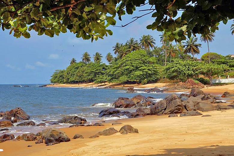
The Caspian coastline is warm during the dry summer but cold in winter. It receives more winter rainfall than the inland plains, sufficient to grow grain and vegetables, with orange groves in the south. Scenic beaches can be found around Baku and the Aspheron peninsula. The country is at risk from earthquakes.
Compare Azerbaijan with the UK
Below the Azerbaijan chart shows average maximum daytime temperature for Azerbaijan (Baku) and the UK (London).
Maximum daytime temperature (°C)
Metric (°C / mm) | Imperial (°F / inches)
Compare more Azerbaijan weather >>
Be inspired
Get your weekly fix of holiday inspiration from some of the world's best travel writers plus save on your next trip with the latest exclusive offers
We promise not to share your details
Related posts
Popular travel offers
Explore holidays in the sun for less
- Beach holidays
- Family holidays
- City breaks
- Summer holidays
- Winter sun holidays
- Holiday offers
- Top travel brands
- Airlines & flights
- Discount hotels
- Airport parking deals
- TUI
- Jet2holidays
- easyJet holidays
- Love Holidays
- January sales
Airport parking
- Manchester Airport
- Stansted Airport
- Bristol Airport
- Luton Airport
- Birmingham Airport
- Edinburgh Airport
- Gatwick Airport
- Glasgow Airport
- Newcastle Airport
Airport lounges
- Manchester Airport
- Birmingham Airport
- Bristol Airport
- Edinburgh Airport
- Glasgow Airport
- Heathrow Airport
- Newcastle Airport
- Stansted Airport
- Gatwick Airport


