


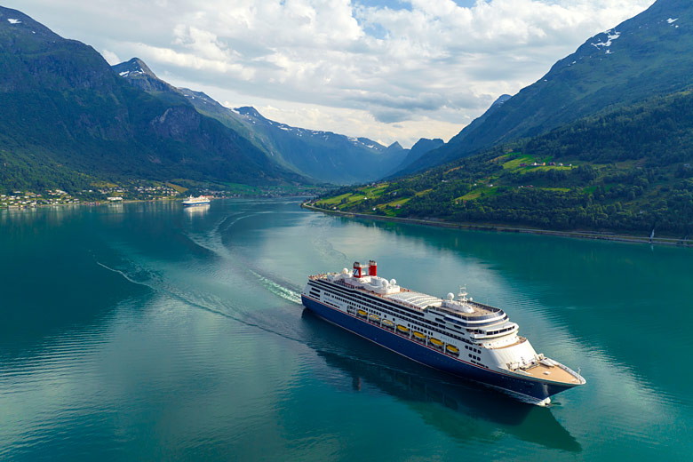
- Explore latest offers on Fred Olsen Cruises in 2026/2027
- Find last minute deals or early bird discounts
- Filter offers by price, destination, ship & departure point
Algeria weather by month
Check out Algeria weather averages by month. Compare detailed monthly climate statistics including temperature, rainfall and sunshine figures.
| Jan | Feb | Mar | Apr | May | Jun | Jul | Aug | Sep | Oct | Nov | Dec | |
|---|---|---|---|---|---|---|---|---|---|---|---|---|
| Maximum daytime temperature °C |  16 16 |
17 |
 18 18 |
20 |
 23 23 |
 27 27 |
 31 31 |
32 |
 29 29 |
 25 25 |
20 |
16 |
| Hours of sunshine (daily) | ||||||||||||
| Days with some rainfall |  11 11 |
10 |
11 |
 9 9 |
8 |
 3 3 |
2 |
2 |
 5 5 |
8 |
10 |
11 |
| Sea temperature °C |  15 15 |
15 |
15 |
 16 16 |
 18 18 |
 21 21 |
 23 23 |
 25 25 |
24 |
22 |
19 |
17 |
More about Algeria
Algeria by month
Jan Feb Mar Apr May Jun Jul Aug Sep Oct Nov Dec
Recommended for Algeria
 Cruise deal finder
The climate guide for Algeria (Algiers) shows long term monthly weather averages processed from data supplied by CRU (University of East Anglia), the Met Office & the Netherlands Meteorological Institute. Find out more about our data sources.
Top Algeria destinations
Below are average maximum temperatures at popular countries, regions and places in Algeria for next month - April. Select a destination to see the climate guide for all months of the year.
All Algeria destinations
Metric (°C / mm) | Imperial (°F / inches)
Algeria climate overview
Algeria is the largest country in Africa extending from the western Mediterranean to more than half way across the Sahara Desert. Colonised by the French in the nineteenth century Algeria gained its independence in 1962. However since 1992 the country has been torn by internal conflict, and despite government efforts to attract foreign investment and tourists, it remains largely unsafe for visitors.
The Mediterranean coastal strip in the extreme north is where 90% of the population lives. Here the Saharan Atlas Mountain Plateau runs parallel to the coast, creating a narrow but fertile coastal plain with coastal massifs and scenic beaches. The mountains themselves support cedar, cypress, and pine forests with broad arable plains on the plateau.
The climate in the north is at its best during summer when it is sunny and mostly dry from June to September. Afternoon sea breezes pleasantly cool coastal regions from the otherwise warm or hot daytime temperatures. Rain is possible throughout the rest of the year, but usually is heaviest in December and January when coastal areas are exposed to winter storms.
The central part of Algeria is largely desert with scenery ranging from stunning dunes to gravely plains. Apart from isolated mining towns, the region is sparsely populated, although a few nomadic herdsmen brave the inhospitable environment. The land rises again in the south with the Hoggar Massif and the Tassili N'Ajjer or 'Plateau of Chasms', running down to the Niger border. Due to the intense aridity, there is little or no vegetation.
The harsh desert landscape has a climate to match. It becomes progressively drier further south, until virtually no rain falls at all. Summers are extremely hot and winters are warm by day but cold by night. In winter strong Harmattan winds can sweep across the desert, creating vicious sandstorms.
Occasional earthquakes are possible.
Algeria weather averages
Temperature in Algeria (°C)
| Jan | Feb | Mar | Apr | May | Jun | Jul | Aug | Sep | Oct | Nov | Dec | |
|---|---|---|---|---|---|---|---|---|---|---|---|---|
| Max temperature (daytime) | 16 |
17 |
18 |
20 |
23 |
27 |
31 |
32 |
29 |
25 |
20 |
16 |
| Min temperature (night-time) |  6 6 |
6 |
7 |
 9 9 |
 12 12 |
16 |
19 |
20 |
17 |
14 |
10 |
7 |
| Heat & Humidity |  0 0 |
0 |
0 |
0 |
0 |
 L L |
 M M |
M |
L |
0 |
0 |
0 |
| Sea temperature | 15 |
15 |
15 |
16 |
18 |
21 |
23 |
25 |
24 |
22 |
19 |
17 |
Note: 0 = None, L = Low, M = Moderate, H = High, VH = Very high, E = Extreme
Sunshine & UV index in Algeria
| Jan | Feb | Mar | Apr | May | Jun | Jul | Aug | Sep | Oct | Nov | Dec | |
|---|---|---|---|---|---|---|---|---|---|---|---|---|
| Daily hours of sunshine | ||||||||||||
| Daily hours of daylight |  10 10 |
 11 11 |
 12 12 |
 13 13 |
 14 14 |
 15 15 |
14 |
14 |
12 |
11 |
10 |
10 |
| UV Index (Maximum) |  2 2 |
 3 3 |
5 |
 7 7 |
 8 8 |
10 |
10 |
9 |
7 |
5 |
3 |
2 |
Rainfall in Algeria
| Jan | Feb | Mar | Apr | May | Jun | Jul | Aug | Sep | Oct | Nov | Dec | |
|---|---|---|---|---|---|---|---|---|---|---|---|---|
| Number of days with some rain | 11 |
10 |
11 |
9 |
8 |
3 |
2 |
2 |
5 |
8 |
10 |
11 |
| Average monthly rainfall (mm) |  92 92 |
82 |
 66 66 |
67 |
 33 33 |
 15 15 |
1 |
5 |
32 |
79 |
87 |
 103 103 |
Compare Algeria weather with the UK
The weather chart below compares the average monthly maximum daytime temperature for Algeria (Algiers) and the UK (London).
Maximum daytime temperature (°C)
Algeria (Algiers)
UK (London)
Jan
Feb
Mar
Apr
May
Jun
Jul
Aug
Sep
Oct
Nov
Dec
Metric (°C / mm) | Imperial (°F / inches)
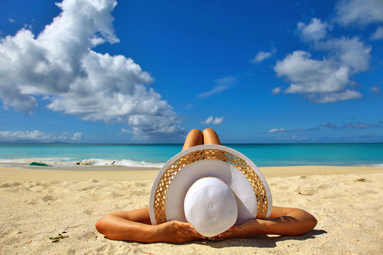
Be inspired
Get your weekly fix of holiday inspiration from some of the world's best travel writers plus save on your next trip with the latest exclusive offers
We promise not to share your details
Related posts

Popular travel offers


Explore holiday destinations
- Beach holidays
- City breaks
- Family holidays
- Half term holidays
- Spring holidays
- Summer holidays
- Autumn holidays
- Winter sun holidays
- Honeymoons
- Coolcations
- Compare places
- Ski resorts
Save with latest deals & discounts
- Holiday offers
- Top travel brands
- Airlines & flights
- Discount hotels
- TUI
- Jet2holidays
- Neilson
- Marella Cruises
- Holiday Extras
- Pierre & Vacances
- Caledonian Travel
- Club Med
Airport parking
- Manchester Airport
- Stansted Airport
- Bristol Airport
- Luton Airport
- Birmingham Airport
- Edinburgh Airport
- Gatwick Airport
- Glasgow Airport
- Newcastle Airport
Airport lounges
- Manchester Airport
- Birmingham Airport
- Bristol Airport
- Edinburgh Airport
- Glasgow Airport
- Heathrow Airport
- Newcastle Airport
- Stansted Airport
- Gatwick Airport