- Book online with TUI & save up to 8% on holidays
- FREE child places available for select holidays
- Pay £0 deposits with direct debit & spread the cost
Tunisia weather by month
Check out Tunisia weather averages by month. Compare detailed monthly climate statistics including temperature, rainfall and sunshine figures.
| Jan | Feb | Mar | Apr | May | Jun | Jul | Aug | Sep | Oct | Nov | Dec | |
|---|---|---|---|---|---|---|---|---|---|---|---|---|
| Maximum daytime temperature °C |  16 16 |
 18 18 |
 19 19 |
 22 22 |
 25 25 |
 29 29 |
 33 33 |
 33 33 |
 30 30 |
 26 26 |
 21 21 |
 18 18 |
| Hours of sunshine (daily) | ||||||||||||
| Days with some rainfall |  7 7 |
 6 6 |
 7 7 |
 6 6 |
 4 4 |
 2 2 |
 1 1 |
 2 2 |
 3 3 |
 6 6 |
 7 7 |
 7 7 |
| Sea temperature °C |  16 16 |
 15 15 |
 15 15 |
 16 16 |
 18 18 |
 22 22 |
 25 25 |
 26 26 |
 26 26 |
 24 24 |
 21 21 |
 18 18 |
More about Tunisia
Tunisia by month
Jan Feb Mar Apr May Jun Jul Aug Sep Oct Nov Dec
Recommended for Tunisia
The climate guide for Tunisia (Monastir) shows long term monthly weather averages processed from data supplied by CRU (University of East Anglia), the Met Office & the Netherlands Meteorological Institute. Find out more about our data sources.
Top Tunisia destinations
Below are average maximum temperatures at popular countries, regions and places in Tunisia for next month - August. Select a destination to see the climate guide for all months of the year.
All Tunisia destinations
- Bizerte
- Djerba
- Gabes
- Gammarth
- Hammamet
- Hammamet Yasmine
- Kasserine
- Kerkennah
- Mahdia
- Monastir
- Nabeul
- Port El Kantaoui
- Sfax
- Skanes
- Sousse
- Tabarka
- Tataouine
- Tozeur
- Tunis
- Zarzis
Metric (°C / mm) | Imperial (°F / inches)
Tunisia climate overview
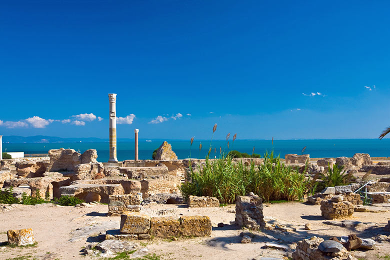
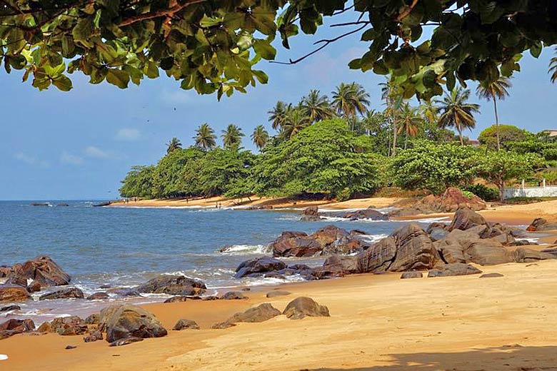
Tunisia is the smallest country in North Africa, wedged between Algeria and Libya. Historically it occupied an important strategic position in the Mediterranean commanding the entrance to the Strait of Sicily. Among the country's main tourist attractions are its fine beaches and some spectacular Roman ruins.
Although the south of the country borders the Sahara Desert the north receives sufficient rainfall for the cultivation of cereals such as wheat, as well as the usual Mediterranean produce, such as olives, citrus fruits and wine. In Roman times this part of North Africa was the 'breadbasket' of the Empire.
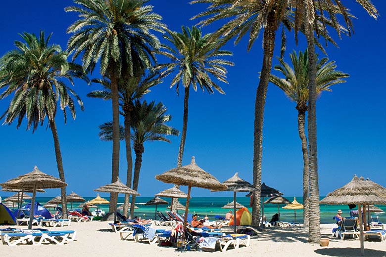
The terrain of most of the north is hilly with mountains to the west and a coastal plain stretching east and south of the old capital of Kairouan. Here there are fine beaches stretching from Hammamet to the island of Djerba in the Gulf of Gabes.
From the end of May to the beginning of October in this half of the country it is dry and hot, particularly when Saharan winds blow from the south. The mountains can provide an escape from the summer heat, as can sea breezes along the coast. Long periods of sunshine from the end of June to the end of August are practically guaranteed.
In October clouds start to build and there is some rainfall through the cooler winter months. Temperatures can fall below freezing at night anywhere in the north of the country between December and March. However maximum daytime temperatures are mostly comfortable.
On high ground there can be occasional snow flurries, but since there are very few mountains above 1,000 metres (3,300ft), snow does not settle for long.
In the southern half of the country it is dry all year round with just a slightly greater chance of the odd shower between October and April. With the exception of a few pockets of vegetation around sources of underground water it is all barren desert, sandy to the west and rocky to the east.
Near the town of Tozeur in the west is the immense salt lake of Chott el-Jerid. This area was once part of an inlet that stretched over 250 miles into the desert from the Mediterranean Sea. In winter water collects but is mostly evaporated off by the end of the summer. In July and August heat and humidity are usually extreme around Chott el-Jerid, and it can become dangerously hot.
More about Tunisia
Compare Tunisia with the UK
Below the Tunisia chart shows average maximum daytime temperature for Tunisia (Monastir) and the UK (London).
Maximum daytime temperature (°C)
Metric (°C / mm) | Imperial (°F / inches)
Compare more Tunisia weather >>
Be inspired
Get your weekly fix of holiday inspiration from some of the world's best travel writers plus save on your next trip with the latest exclusive offers
We promise not to share your details
Related posts
Popular travel offers
Explore holidays in the sun for less
- Beach holidays
- Family holidays
- City breaks
- Summer holidays
- Winter sun holidays
- Holiday offers
- Top travel brands
- Airlines & flights
- Discount hotels
- Airport parking deals
- TUI
- Jet2holidays
- easyJet holidays
- Love Holidays
- January sales
Airport parking
- Manchester Airport
- Stansted Airport
- Bristol Airport
- Luton Airport
- Birmingham Airport
- Edinburgh Airport
- Gatwick Airport
- Glasgow Airport
- Newcastle Airport
Airport lounges
- Manchester Airport
- Birmingham Airport
- Bristol Airport
- Edinburgh Airport
- Glasgow Airport
- Heathrow Airport
- Newcastle Airport
- Stansted Airport
- Gatwick Airport


 TUI deal finder